


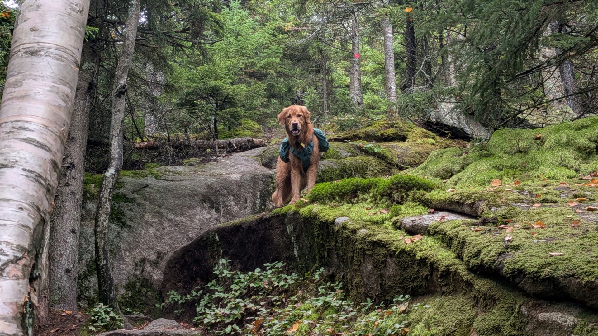
Lovely Walk in the Woods
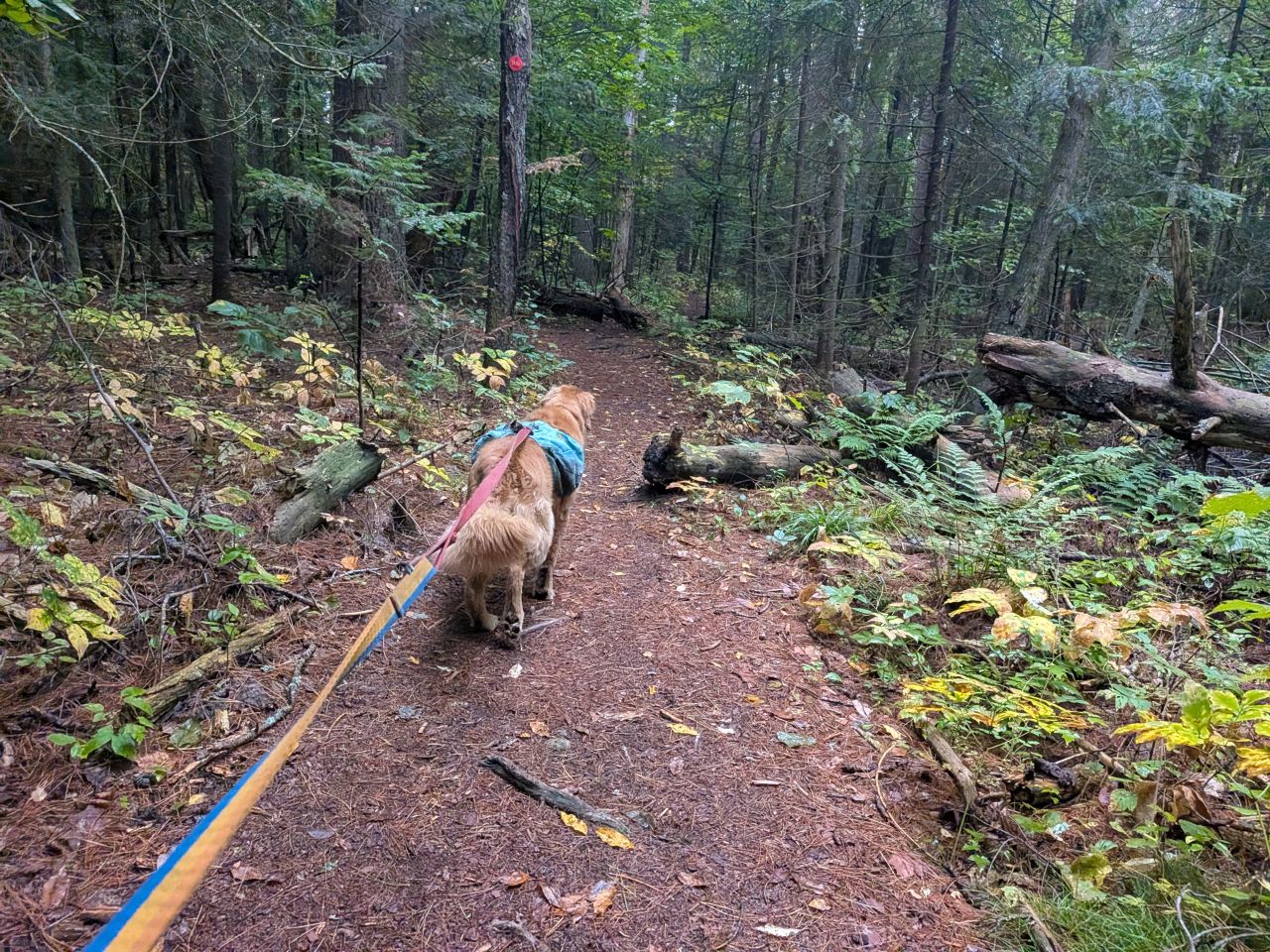
The first 1.8 miles of the trail is largely flat. It's a beautiful couple of miles. We really enjoyed the walk. The ground is soft and comfy to walk on. The smells of the evergreens growing all around us and the dead leaves beginning to heap on the damp ground were refreshing.
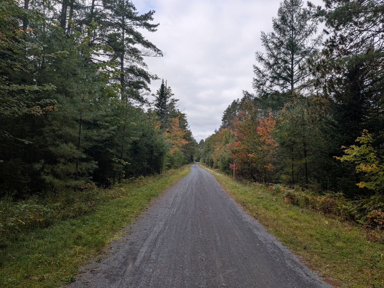
A short distance down the trail, there's a junction with a side trail that I think comes from a little nearby neighborhood. After that, the trail crosses the Adirondack Rail Trail. I really want to get Quinn out here to ride bikes on the trail sometime soon.
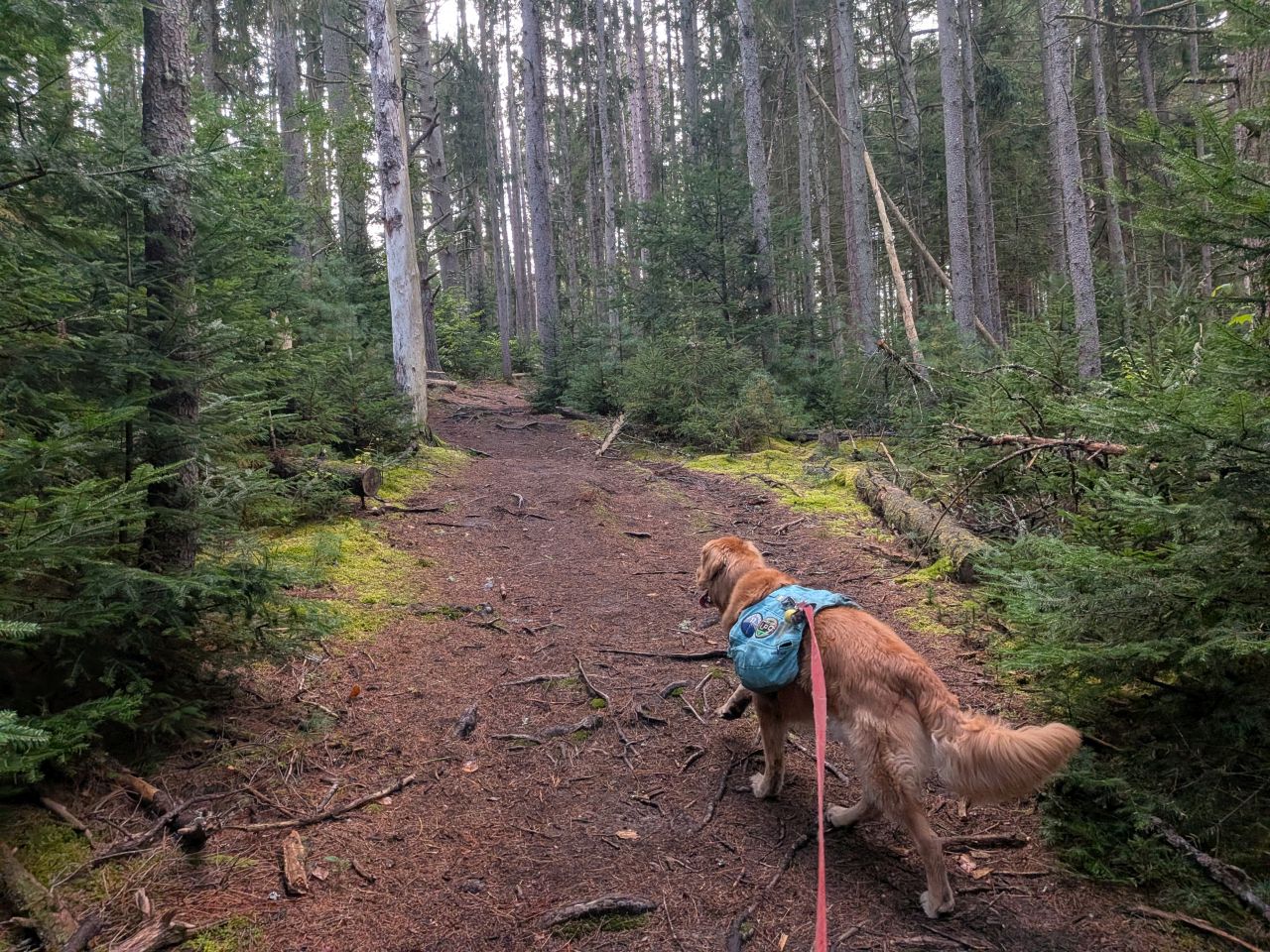
We were both quite impressed by the big, older-growth trees along the trail here. A few of them were fairly impressive.
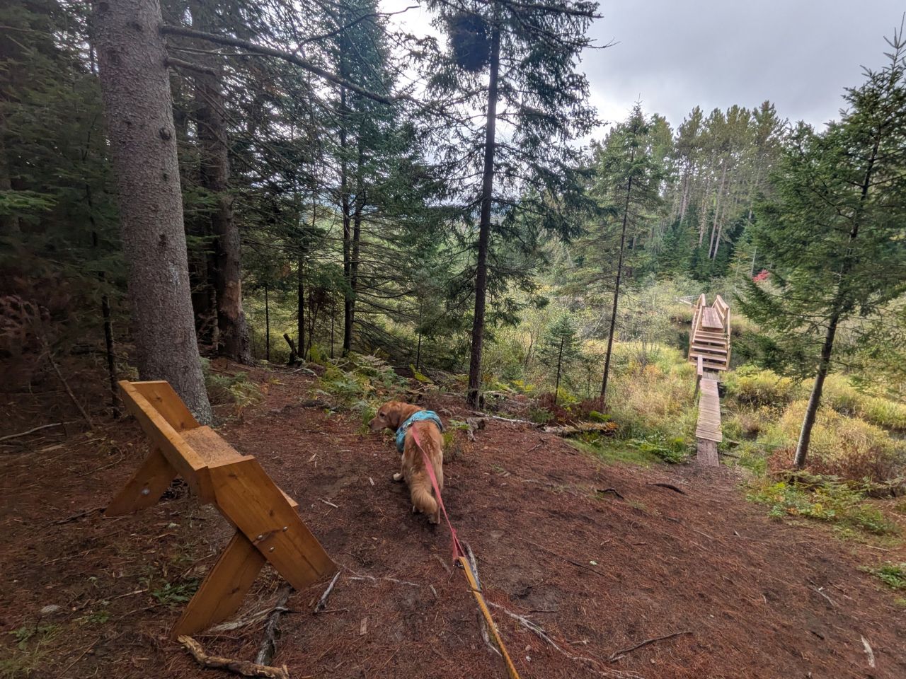
We soon came to a bench overlooking the big bridge crossing the Ray Brook.
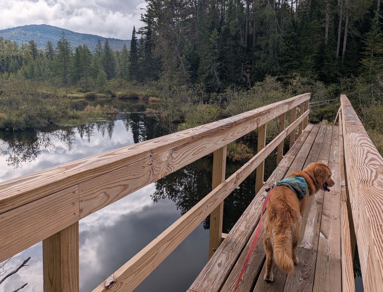
We immediately understood why we needed a new bridge to cross here. Crossing without a bridge would have been miserable at best.
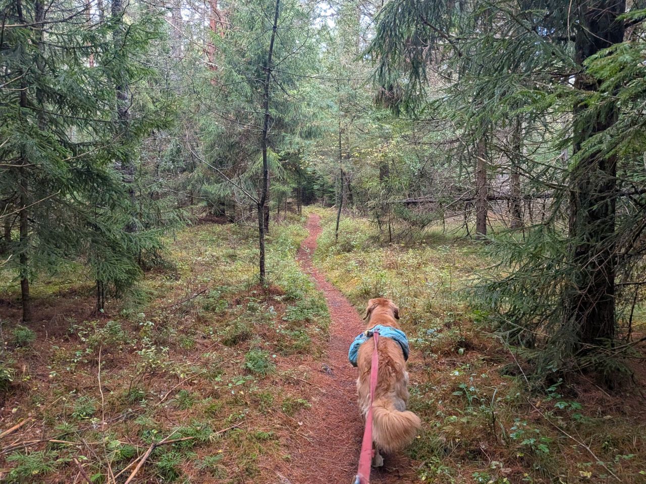
The trail climbing up from the bridge is narrow for a short distance. The trees here are also old and tall with an open understory. It was lovely to walk through.
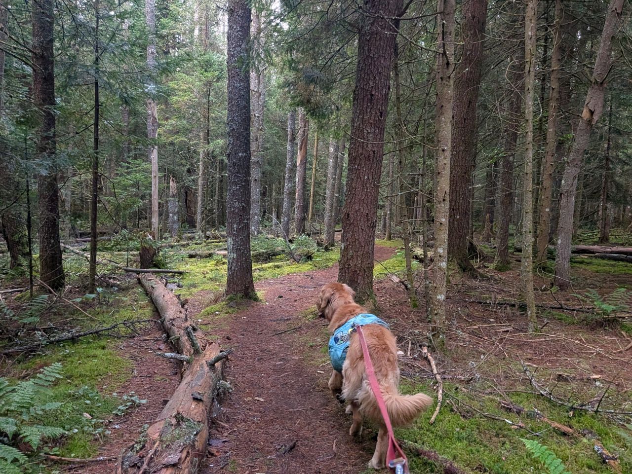
The trail started to widen as it leveled out.
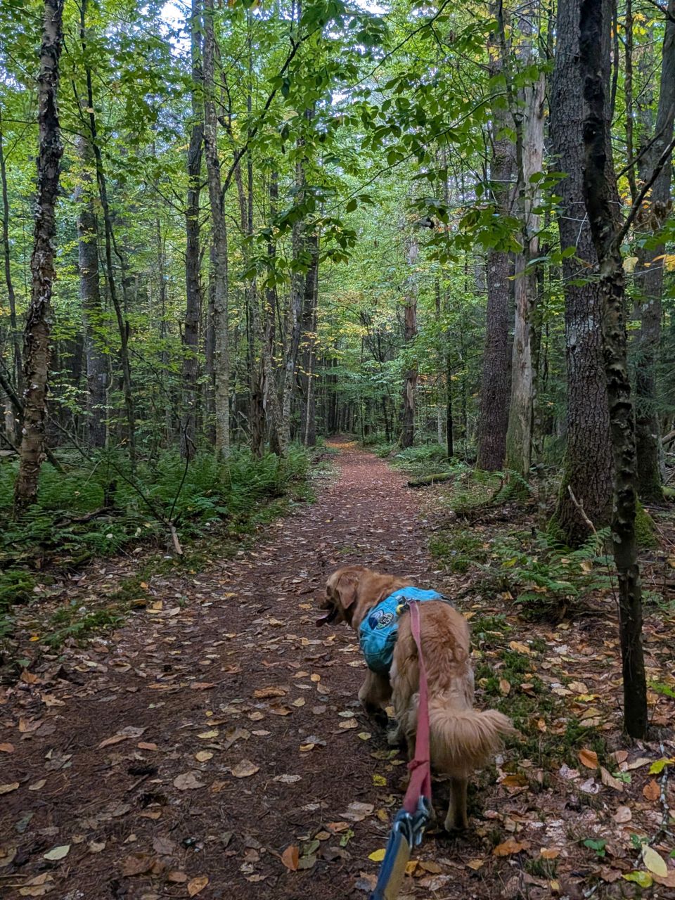
The trail straightens out completely as it approaches the junction.
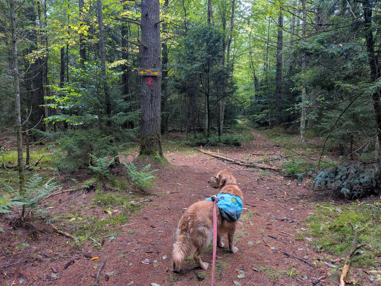
We reached the next junction at 11:30. The electronic map here is weird, I think partially because the spot is so close to town. If you head straight, the map shows an unmarked trail heading down to what could be an old road or snowmobile trail. The road seems to wander through state land and also through two private parcels situated in the middle of nowhere, one containing a big marsh and the other along the Roger Brook. It's possible the parcel at the end of the road is the old Roger Brook Hunting Club, but I can't find definitive proof.
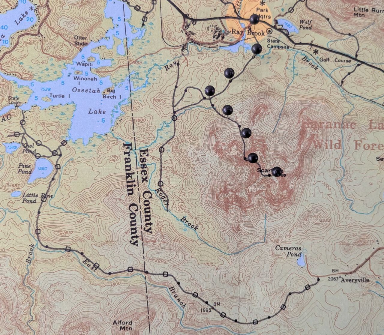
My pin map at home is a bit older and it shows the Roger Brook trail as a private trail. This now goes through both private and public land so I don't really know how private it is anymore. It shows the
At any rate, the trail continues left past the junction much in the same way it approached. The trail doesn't really start climbing until it came to a stream about a quarter mile later.
Climbing to the Scar
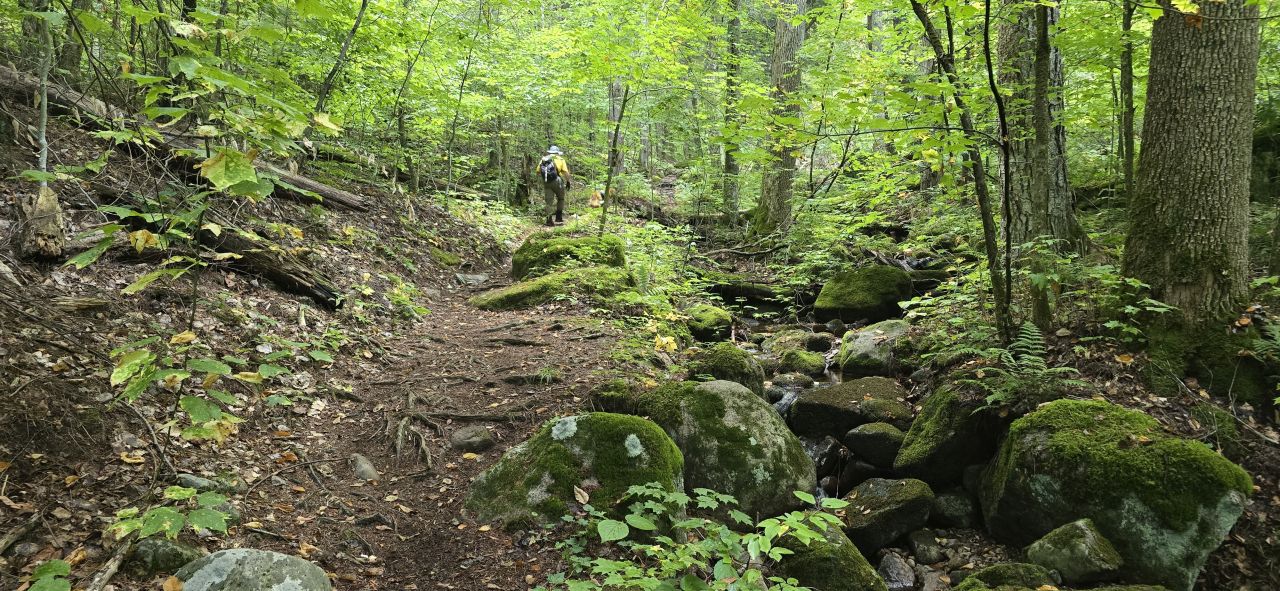
Dan caught a nice photo of Sunny and me climbing past the stream. Sunny stayed on-leash for most of the trail, certainly on the flat and for the most tame part of the ascent. As usual, I was a little concerned about other animals on these lower elevations.
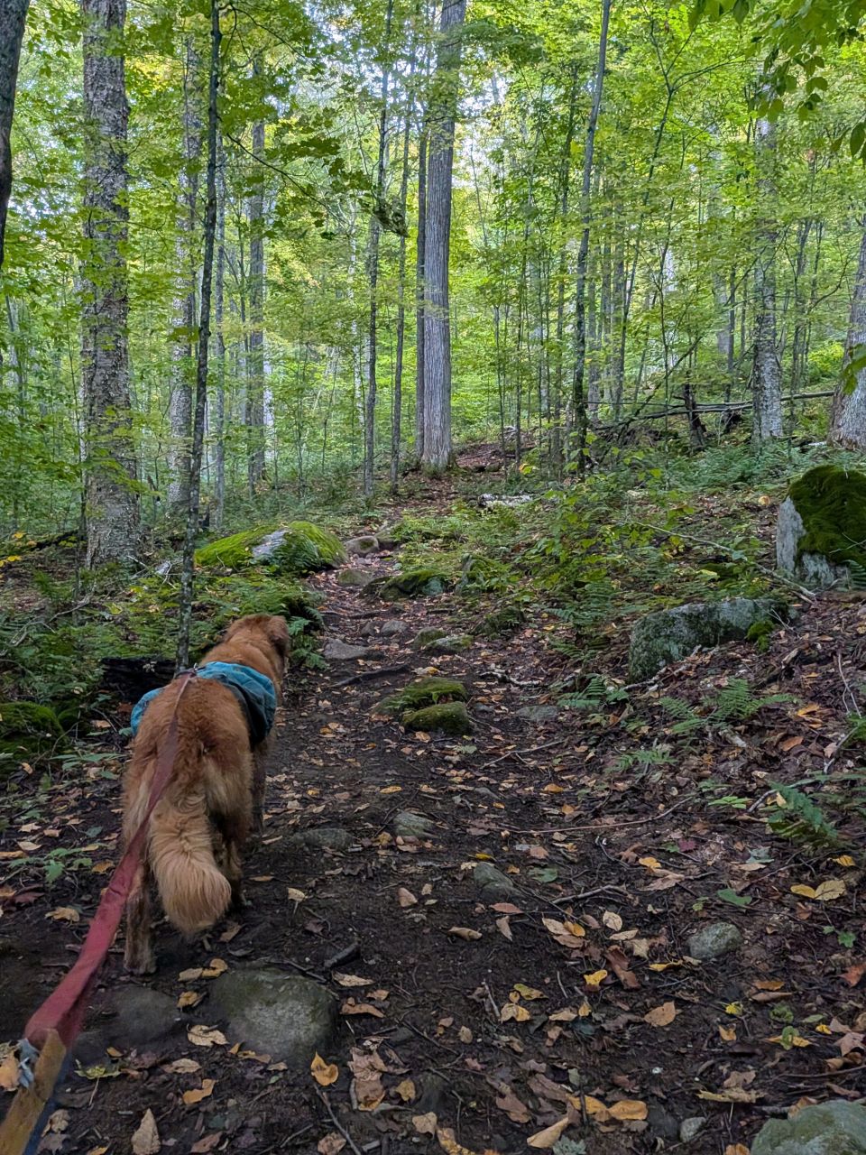
About two miles in, the trail finally started to really climb. It wasn't terribly steep, but enough to get the heart going.
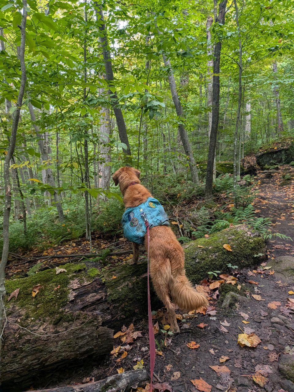
Whatever it is, you're not going to catch it, Sunny. You're never going to catch it.
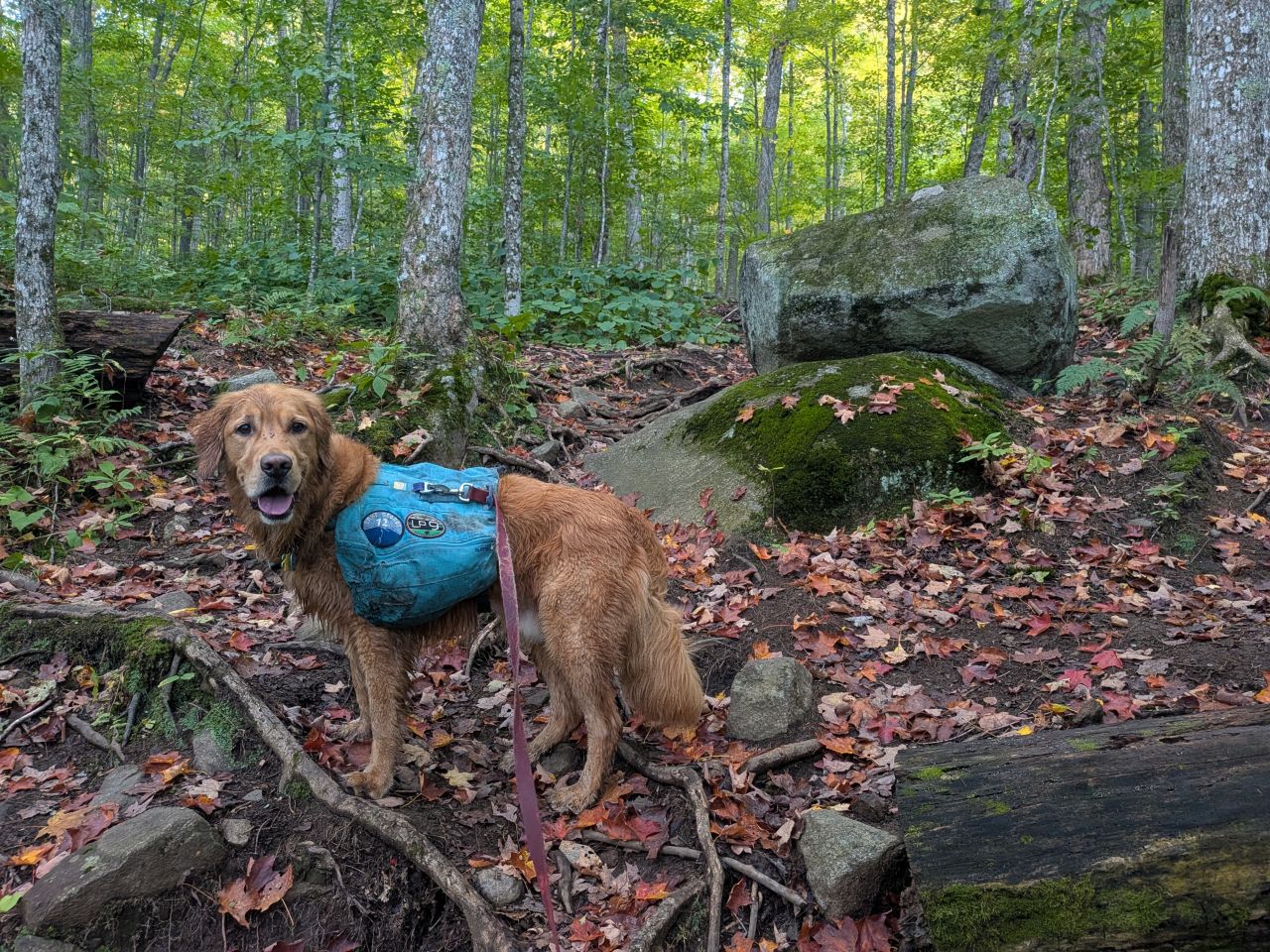
The trail started to wind around rocks and boulders.
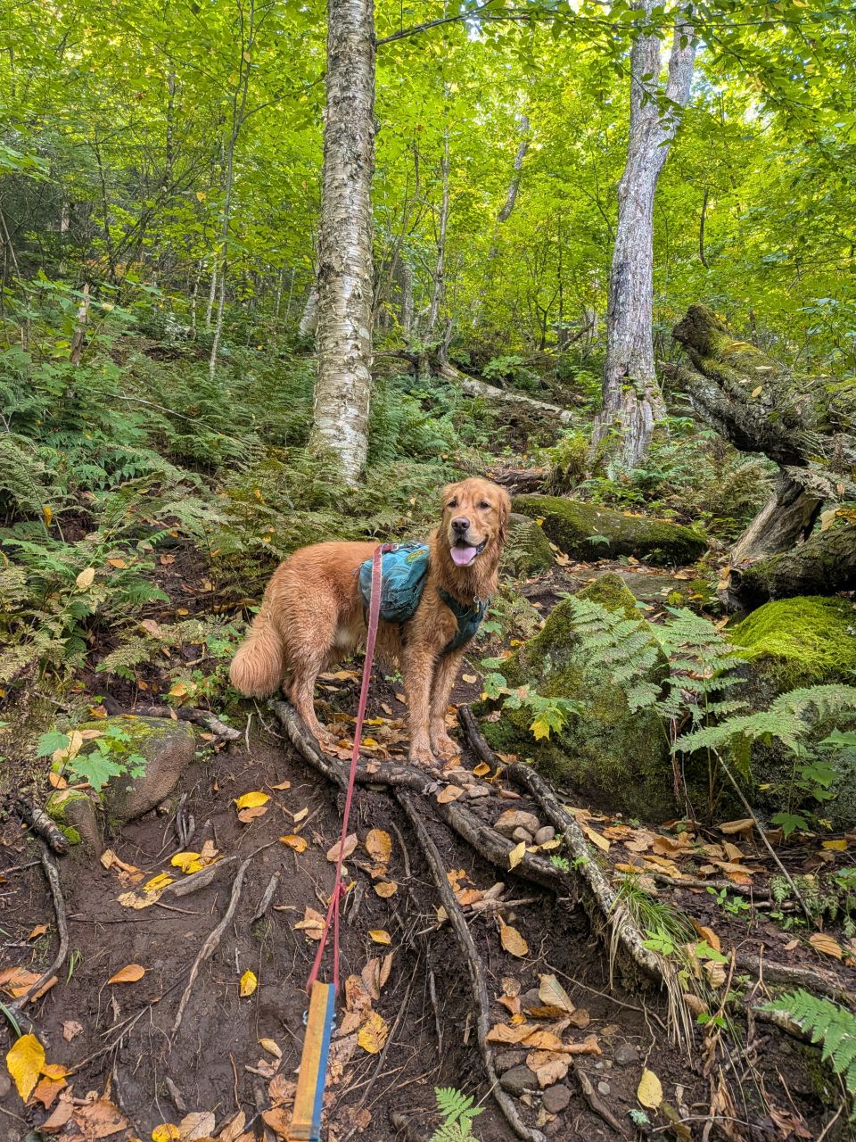
It was really pretty in the woods at all levels. Here, winding around the trunks and roots of birches which were still glowing bright green in the dim midday sun.
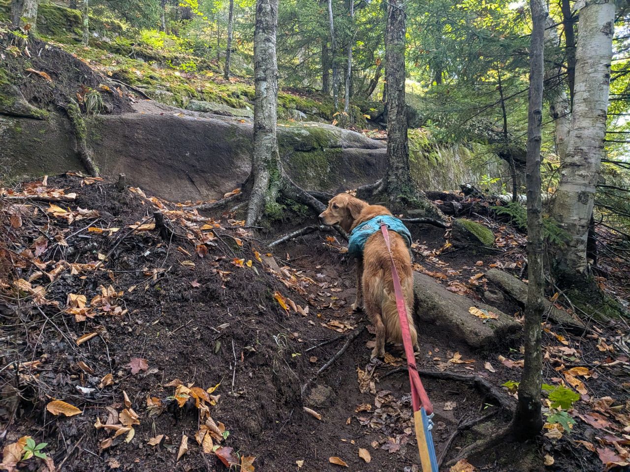
As the trail steepened, slashes of exposed stone started to throw themselves in our path.
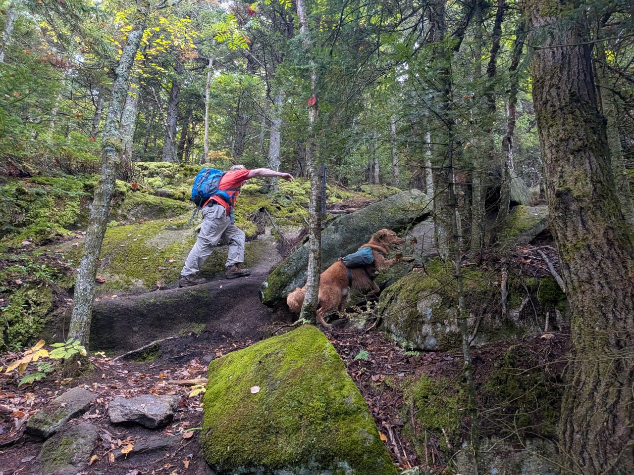
We made quick work of these scars until we finally arrived at the big, exposed slab that gives Scarface its name.
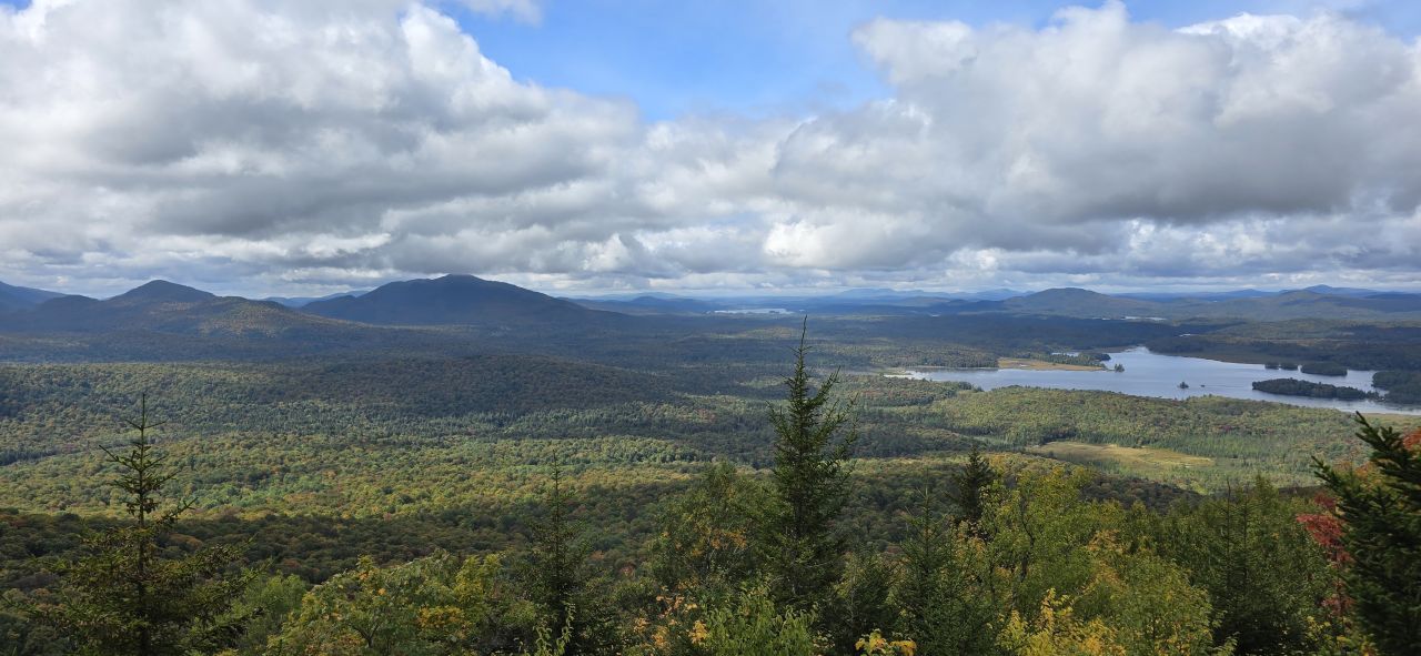
Dan got the best panorama from the scar's exposed slab. The viewpoint overlooks Oseetah Lake to the left, Ampersand Mountain in the distance, and the Sawtooth Range marching to the left. The forest between here and Ampersand seems expansive and wild. I wonder how much of it is marshy and inaccessible. There is one trail called the Pine Pond Trail that starts in nearby Averyville and wanders 7 miles in to a small pond near the lake and back. It's an old snowmobile trail, so it's easy to follow if a bit muddy in spots. I've never traveled it but I'd be interested in exploring it and did a little research on it for this article.
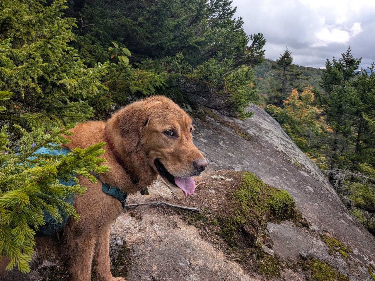
Sunny wasn't terribly impressed with the scar, mainly because we weren't taking out our lunches yet. I do wish I'd explored a bit further down the scar to see if I could get better pictures of the Sawtooth and Seward Ranges. Based on the map, I think it's all obscured by one shoulder of Scarface anyways.
Summit
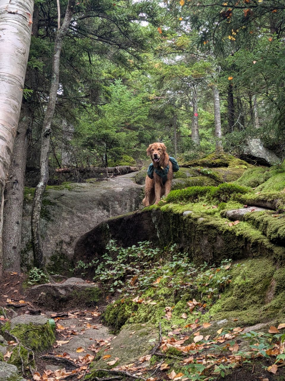
Sunny was excited to be back on the trail. After the scar, there's about 400' of steep elevation gain to the top of the mountain. When we initially started on Mt.Arab this morning, I'd been blowing pretty hard. By now, however, I was in a lot better shape.
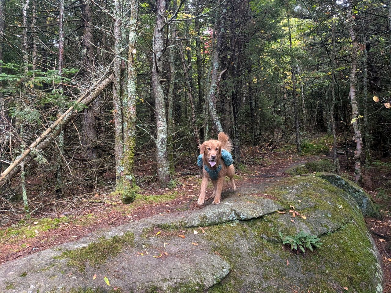
Sunny was, of course, doing great. It had been too long since we'd been on a proper hike and he was so happy.
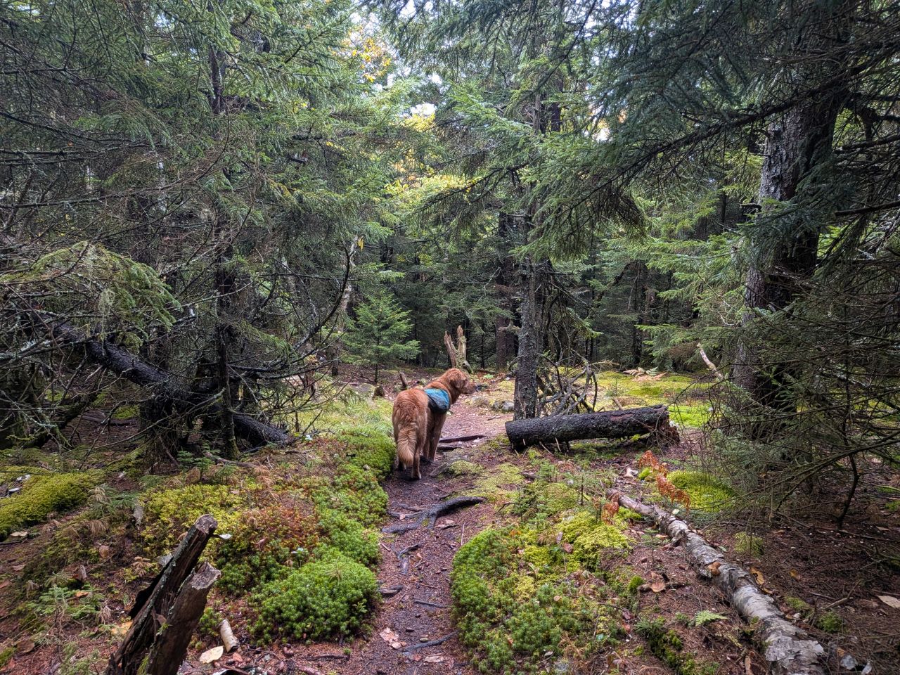
It's a flattish half mile from the lip of the ridge to the true summit of the mountain. We'd had a bit of rain and I'd worn my gaiters expecting mud along the flat parts of the trail today, including and especially this part. My experience on other, similar summits had certainly given me reason to believe this. However, today there was not really any mud. My feet remained dry.
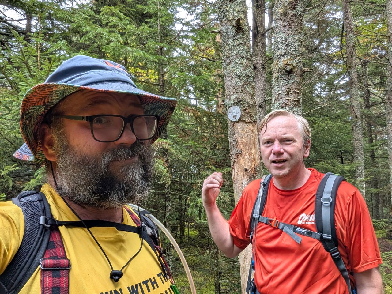
We arrived at the summit about exactly 2 hours after we'd started. We felt really good about that time considering it was over three and a half miles and nearly 1600' of elevation gain (1200' of which was gained over a single mile).
The true summit featured a modest granite slab nestled in the woods. Dan and I agreed that, among all the summits we've visited, this was absolutely one of them.
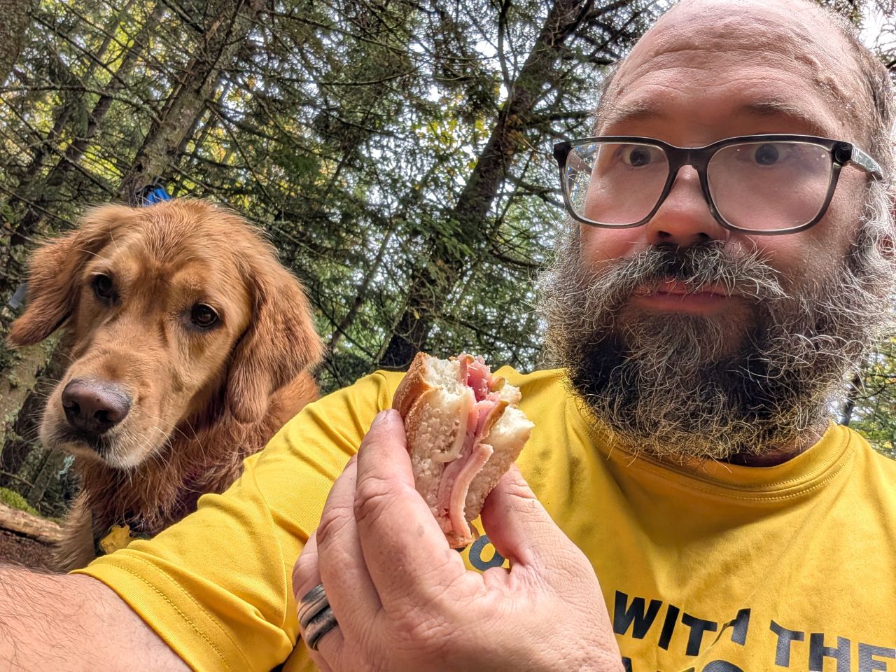
We hung out for a little while, eating the rest of our lunch and relaxing. I took off my gaiters and unzipped the legs off my pants.
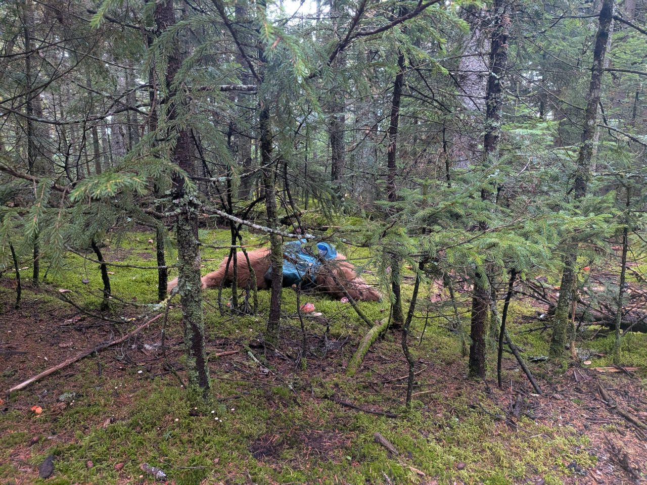
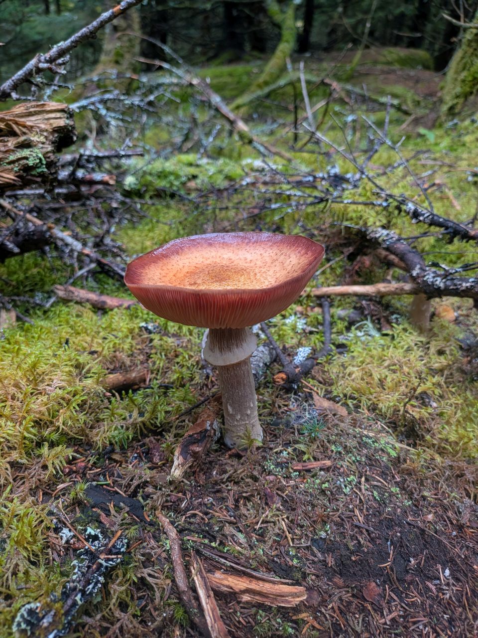
Sunny was loving the nearby soft bed of moss and liverworts.
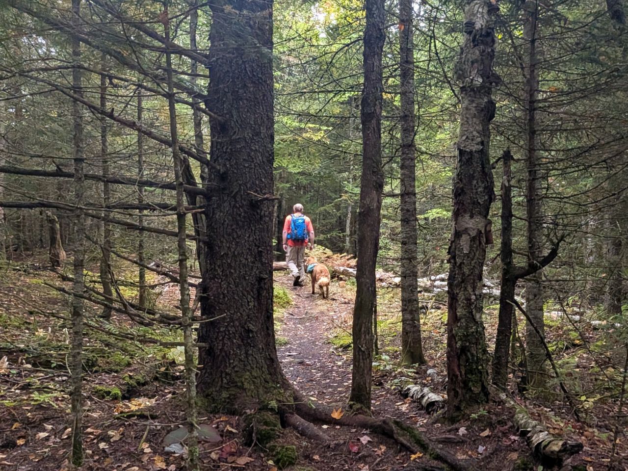
We left the summit at around 1:15.
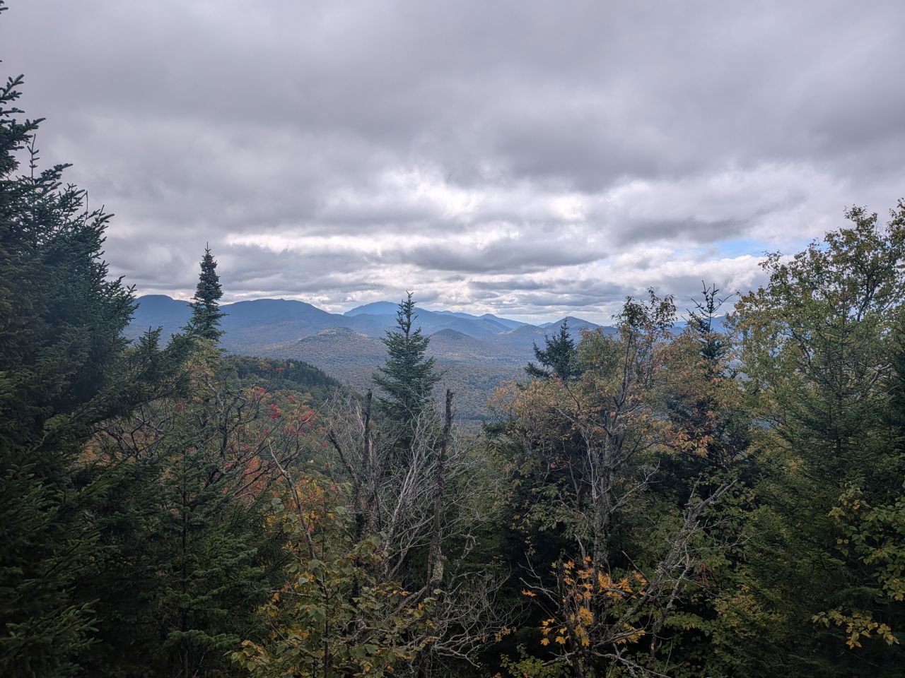
We caught some nice views on the way down. I started lagging behind because my right knee started acting up a bit, but after some Tylenol, it quieted down a bit. Sunny did approach a couple of people having lunch on the scar and I had to call him twice which was annoying. He did recall, though and we continued on our way down. Once we got off the steeper part of the trail, I re-leashed him.
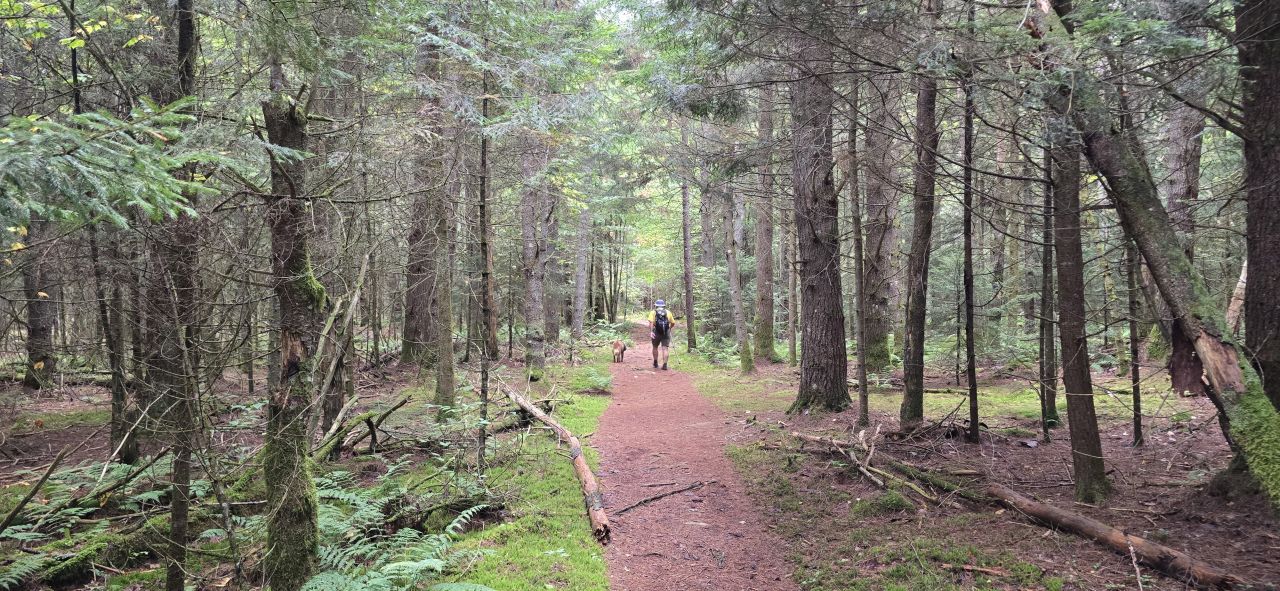
Dan caught a nice shot of Sunny and me enjoying the last half of the trail. I was glad to be on soft, flat ground again. We made it back to the car in a little over an hour and a half. It was great to be done with our hikes before 3:00pm and we were looking forward to a proper meal at home rather than subsisting on Stewarts and hunger for the next 3 hours.
That's the Saranac 6er in the books for Sunny and me. I'm glad Dan joined us for the adventure as always. It's a great time of year for hiking, especially on a Monday instead of a Saturday!
Autumn Plans
We've already got some plans for the Autumn. We'll be doing some privy maintenance with the ADK at Wallface Lean-to this weekend, then probably heading back for a proper maintenance hike. With the leaves falling, we'll want a go at raking out the drainages before they fill with mushy leaves and mud. We'll also want to get some trail markers up in some key locations.
Jay has planned a backpacking trip on the French Louie Loop in October and I'm quite looking forward to that. It will be nice to sleep in lean-tos and avoid reality for a weekend. Look for a report on that by November as long as the weather largely holds.
Jay has also expressed an interest in doing a second round of the High Peaks this year and Dan is always up for more Winter summits. For my part, I'm dubious about long days more than 14 miles in snowshoes, but I'm keen to ramp up and have a go.
I have signed up for a 6-week training program to help me get in better shape for hiking. I'm proud of the work I've done to be able to achieve what we've accomplished this year. We've done several 16-mile days on multiple High Peaks but I could really feel the weariness weighing on me by the end of those days. I really want to be able to do these big hikes and still feel good when confronting another 2 to 4 miles after dismounting the last mountain. I also want to be able to climb multiple High Peaks in the Winter, with or without Sunny. I'm hoping this program will teach me how to do this.
Route Map
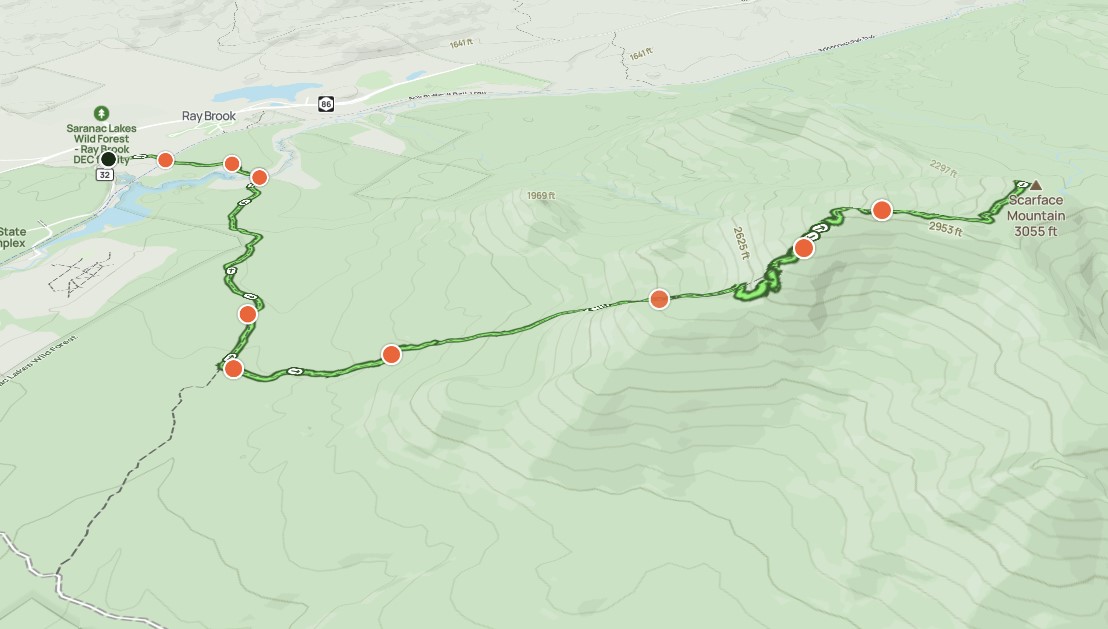
Afternoon_hike_at_Scarface_Mountain_0.gpx (428.4 KB)